
Shapefile Uploads in Pathfinder: Bringing Client GIS Data Into One View
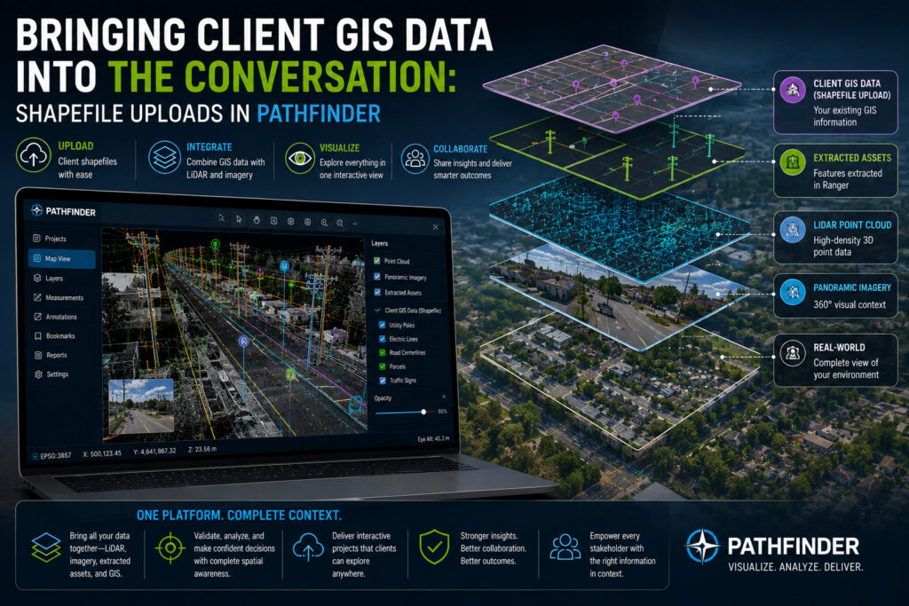
Most GIS platforms ask clients to work within whatever data the platform gives them. Pathfinder takes a different approach. Clients can upload their own shapefiles directly into the platform and analyze them alongside the point clouds, imagery, and extracted assets we deliver. That single capability opens up a range of ways clients can get more […]
How Custom Data Dictionaries Improve Geospatial Data Extraction
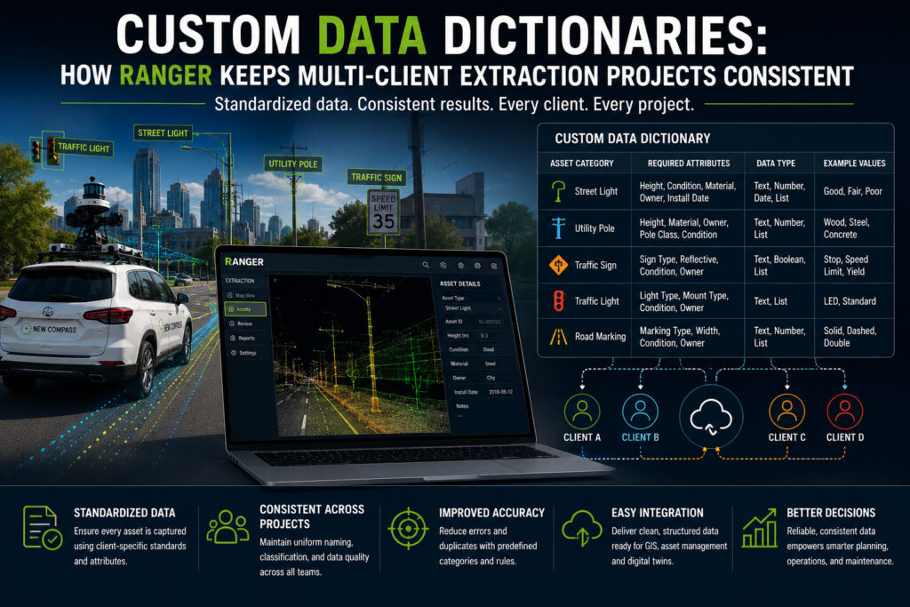
Every asset management project starts with the same question: what exactly are we extracting, and how should it be structured once we have it? The answer looks different for every organization. A utility company tracking poles and spans uses different terminology, different attributes, and different downstream systems than a city cataloging signs and street furniture, […]