
What Makes Extraction Software Truly Enterprise-Grade?
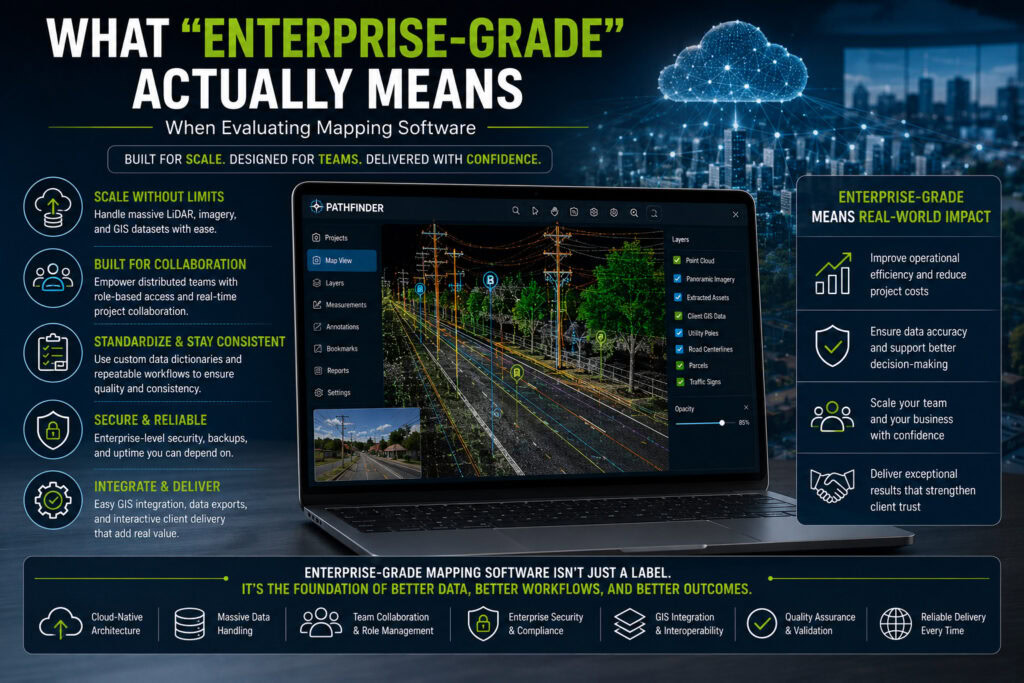
“Enterprise-grade” is one of the most frequently used phrases in technology marketing. Mapping software providers use it to describe everything from cloud platforms to GIS applications and point cloud processing tools. But what does enterprise-grade mapping software actually mean? For organizations working with LiDAR, mobile mapping, GIS, infrastructure assets, and large geospatial datasets, enterprise-grade should […]
How Ranger’s Audit Module Ends the QC Guessing Game
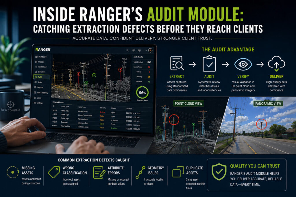
Anyone who has run a data extraction team knows the feeling: the hub is finally done, the deliverable is packaged up, and someone asks the question that has no good answer: “how accurate is it?” Without checking every single asset in a dataset, it’s difficult to know the accuracy of a dataset. And checking every […]
Why Enterprise Teams are Moving to Cloud-Based Feature Extraction
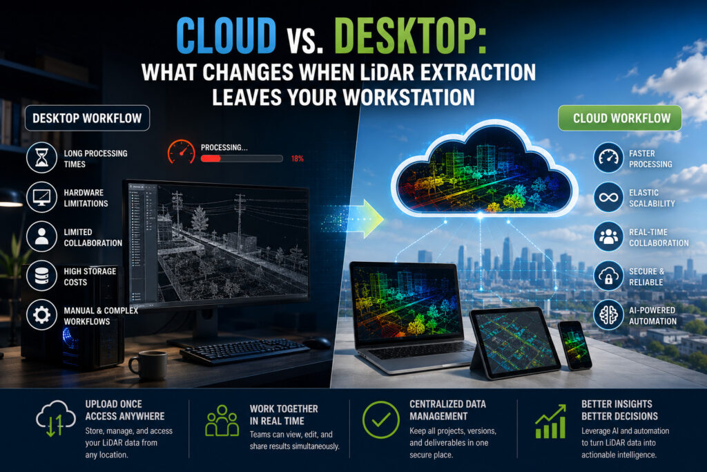
Introduction LiDAR technology has transformed the way organizations collect and analyze geospatial data. From infrastructure inspections and transportation planning to utility management and digital twin creation, LiDAR scans capture highly accurate three-dimensional information that supports better engineering and operational decisions. But collecting the data, and even processing it into pano imagery and point clouds, is […]
From Collection to Permitting: The Complete Mobile Mapping Workflow for Telecom
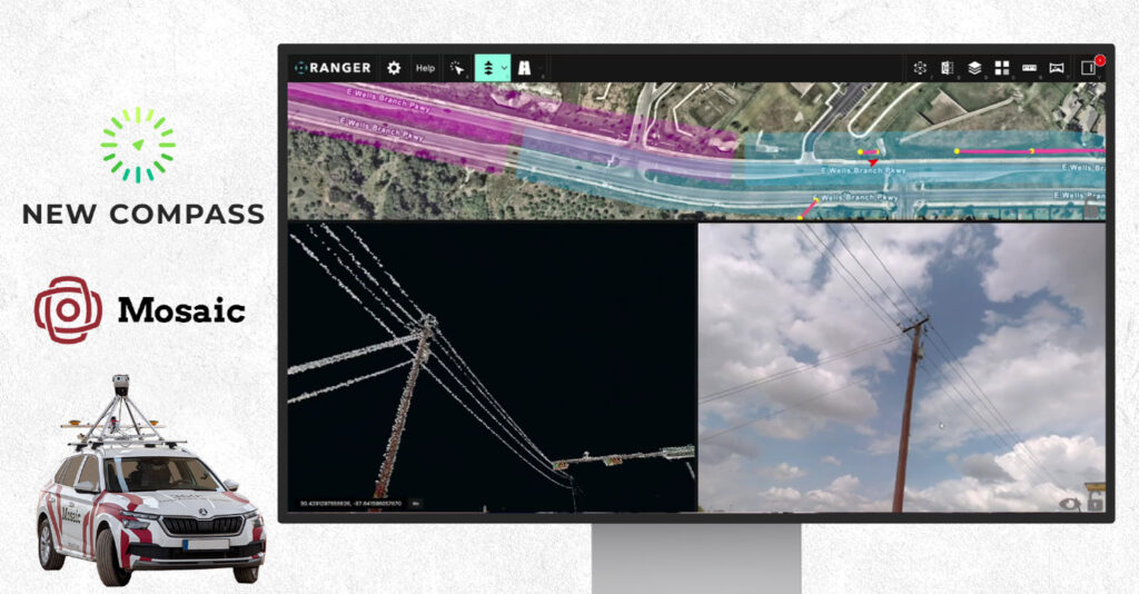
Providing a continent with reliable broadband internet takes high efficiency at every stage. Use Mosaic and New Compass to stretch your BEAD funding further. In this article, we will walk you through the traditional vs. modern mobile mapping process for telecom companies, from the collection process to post-processing to final deliverables. For planned fiber […]
Mobile Mapping LiDAR vs. Drone LiDAR: Two Capture Methods, One Extraction Platform
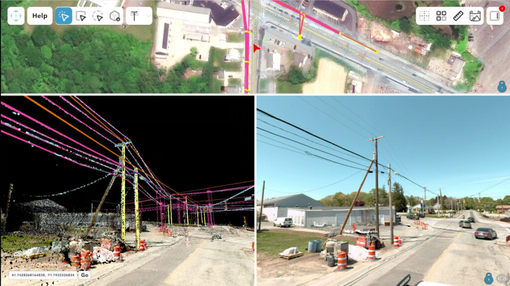
A breakdown of how vehicle-based mobile mapping and drone LiDAR differ in collection, accuracy, and data output, and why both feed cleanly into Ranger. Two platforms, one extraction problem LiDAR and imagery collection isn’t a one-size-fits-all decision. Vehicle-based mobile mapping systems and drone-mounted LiDAR sensors both produce georeferenced point clouds, but they get there through […]
Unlocking the I-95 Corridor: How Pathfinder and Ranger Turn 1,920 Miles of Data Into Actionable Asset Intelligence
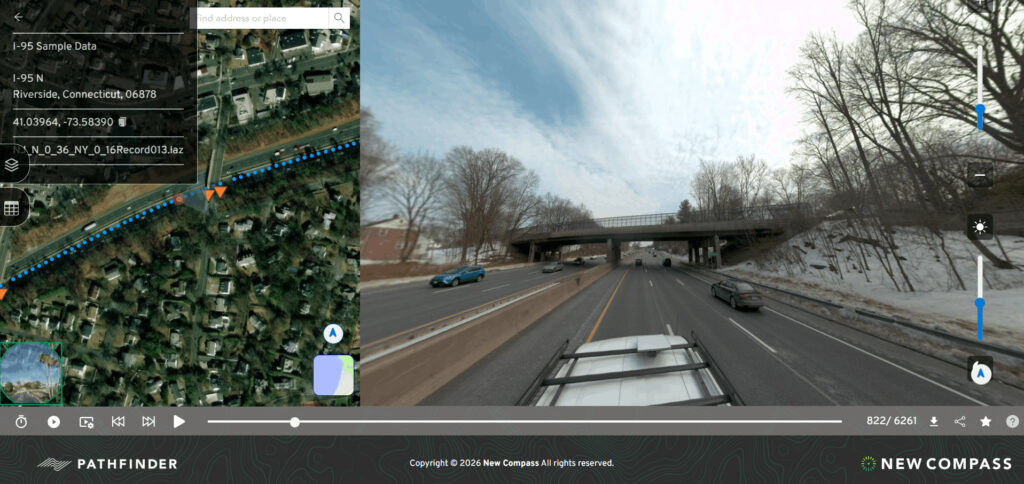
A look at the New Compass Solutions platform tools that make the Teleqo Tech I-95 corridor dataset usable across telecom, utility, and DOT workflows, all from the desktop on day one.
The New Compass Make-Ready Workflow

Why Ranger’s project management, dual-visualization interface, and semi-automated extraction tools were engineered around the specific pressures of make-ready engineering.
How Ranger and Pathfinder Optimize Municipal Sign Inventory Delivery
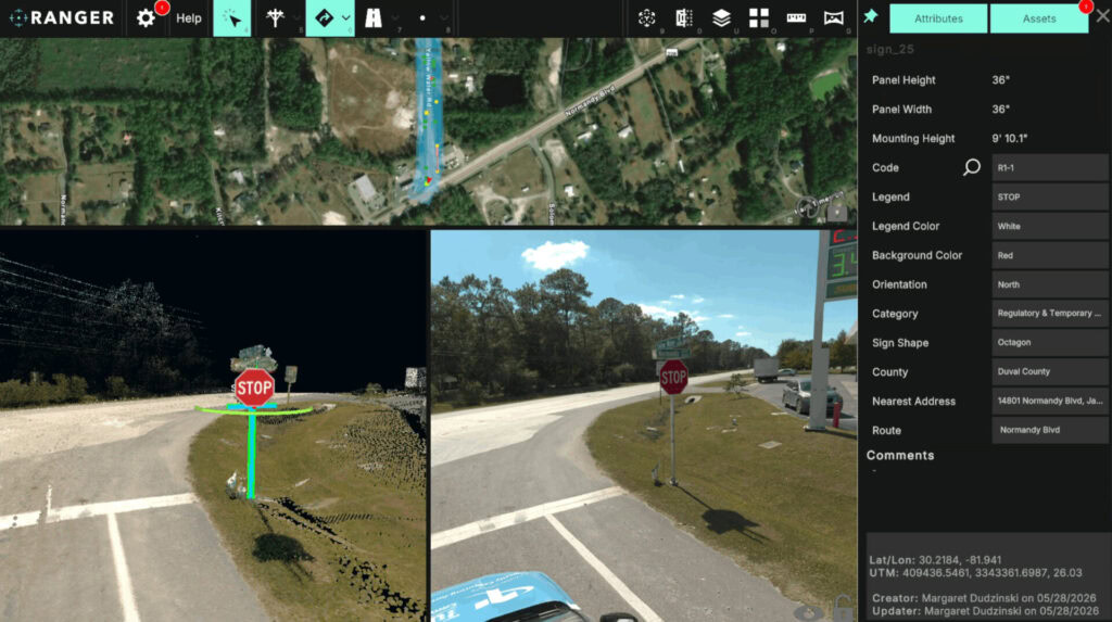
A look at the New Compass platform features that turn citywide mobile-mapping collections into maintenance-ready inventories, illustrated through two recent municipal programs in Norwalk, CT and Fremont, CA.